Query Earth and weather data where it sits.
Our open-source engine reads Zarr archives straight from object storage with SQL. No copy, and no pipeline per dataset.
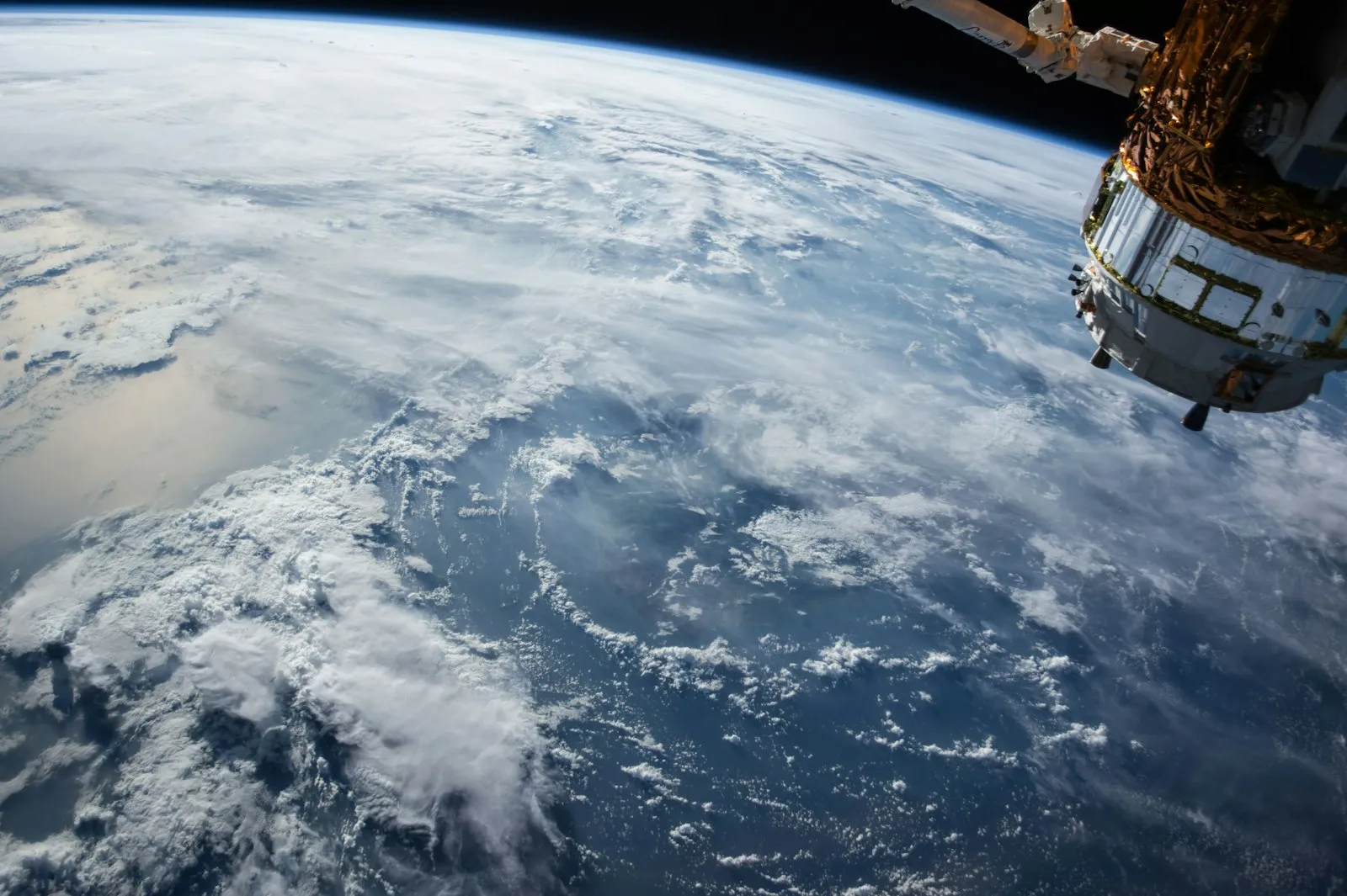
Most Earth data is never used, because preparing it costs more than the question is worth.
- 01
The archives are enormous
Climate reanalyses and satellite records run to petabytes. Copying them into a database first is slow, costly and out of date by the time it finishes.
What copying costs → - 02
Every dataset needs its own pipeline
NetCDF, GRIB, GeoTIFF and Zarr each want different tooling, so analysts wait on engineers for every new question.
- 03
Most of the value never arrives
The bottleneck between satellite and decision is processing, not sensors or models.
The processing gap → - 04
Hazard data does not meet your exposure data
Insurers need weather and catastrophe signals joined to policies and locations, in one query, not a monthly batch.
One engine between the archive and your application.
- 01 · Sources ERA5, satellite, radar, sensors
- 02 · Zarr Chunked arrays in object storage
- 03 · DataFusion SQL over the arrays, in place
- 04 · Your systems Risk, pricing, claims, analytics
SQL on arrays, as you would write it on tables.
-
Zarr v2 and v3
Reads both storage spec versions, with schema inference from array metadata.
-
Filter and projection pushdown
WHERE clauses and column selection are pushed down to chunk-level reads, so there are no full-array scans.
-
Cloud-native
Query Zarr stores directly on S3 and GCS with no local copy.
-
Full SQL
Filtering, aggregation, GROUP BY, joins, ORDER BY and HAVING: the whole DataFusion SQL surface.
zarr> CREATE EXTERNAL TABLE era5 STORED AS ZARR
      LOCATION 'gs://gcp-public-data-arco-era5/...';

zarr> DESCRIBE era5;

zarr> SELECT latitude, longitude, AVG(2m_temperature)
      FROM era5
      WHERE time > '2020-01-01'
      GROUP BY latitude, longitude
LIMIT 10;We checked it against NOAA's El Niño index.
Match to NOAA's official Oceanic Niño Index table, recomputed from ERSST v5 with SQL.
Read the write-up → r = 0.966Correlation with NOAA's record when the index is recomputed from ERA5, an independent reanalysis. Mean absolute error 0.16 °C.
Read the write-up → 0ENSO sign reversals between the ERA5 recompute and the official record.
Read the write-up →-
Insurance risk
Join hazard and weather history to policies and locations for exposure, pricing and claims triage.
-
Agriculture
Soil, rainfall and temperature series over fields and seasons without staging copies.
-
Energy
Wind, solar and temperature records for demand and generation analysis.
-
Climate analytics
Indices such as ENSO computed straight from public archives, reproducibly.
Insurer? The same data sits behind our insurance work.
Advanced filter and aggregate pushdown, streaming output, additional numeric types, Python bindings, and cloud prefetching. Follow progress and contribute on GitHub.
Cloud: coming soon. A managed, hosted version is in development.